
Access/Technology provider: ULIM, ULIM_I-ROV
End User: Williams College (USA), USA & Ireland [Academia]
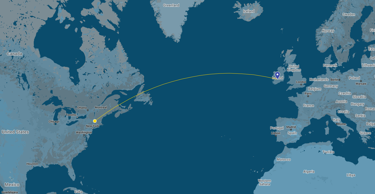
Dates: 22-08-2021 to 31-08-2021
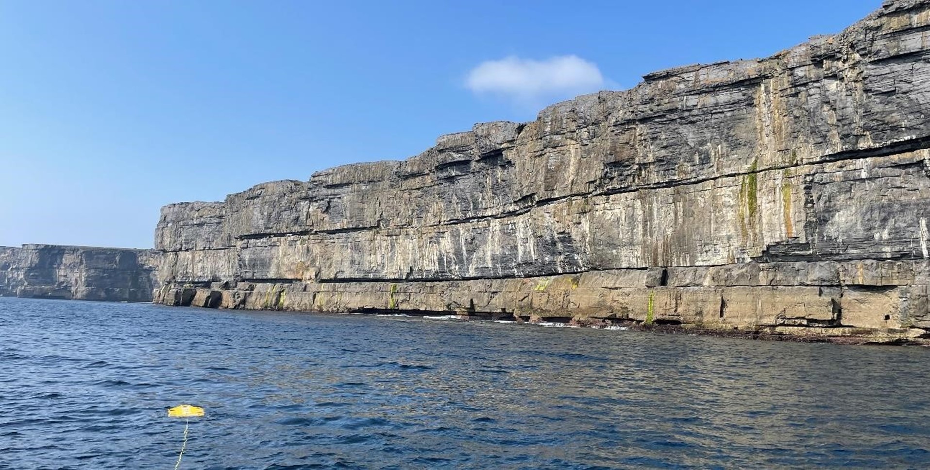
Goals: The project set out to acquire a remotely-sensed datasets of video and photos in the shallow marine environment beneath cliffs on Inishmore (Aran Islands, Ireland). The primary locations for survey in the waters underneath 2 of Europe’s most important prehistoric monuments: the Bronze-Age forts of Dún Aonghasa and Dún Dúchathair. The focus will be on collection of video datasets, multibeam data and photogrammetry datasets. This cross-cutting project seeks to address questions in coastal geoscience and archaeology and will look at useability of new advanced robotic technology for these operations. The work unites robotics experts from the University of Limerick with geoscientists from Williams College (USA).
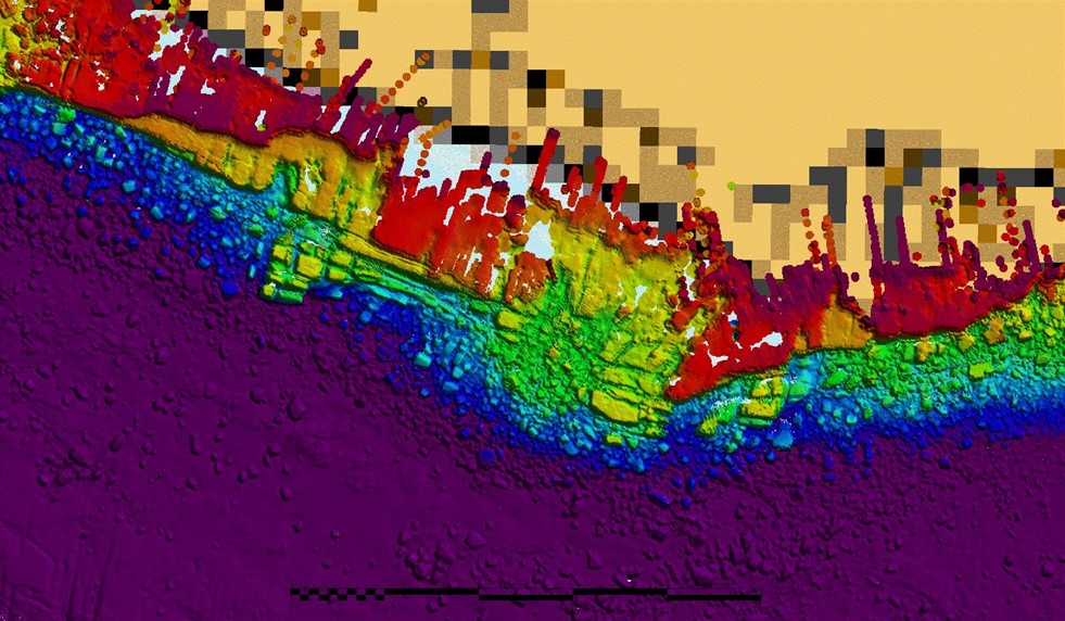
The IROV system from University of Limerick was utilized and a survey boat was hired with pilot for onsite operations. The survey boat, RV Laconia, was recently commissioned in December 2020 and the Aran Island survey hire and operations was the first ROV survey that it completed since commissioning. The Survey boat was configured to take both the (1) UL IROV system as payload on the back deck with launch recovery from hydraulic A-frame and the (2) UL Reson 7125 mulitbeam system over the bow of the vessel. The datasets captured during the survey include (1) downward looking camera from IROV (2) forward facing camera from IROV (3) multibeam datasets from INFOMAR boat RV Keary. These datasets are now being reviewed and cataloged to understand cliff face erosion as well as additional objectives:
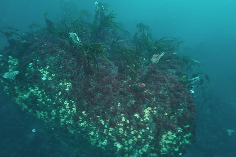
- Understand advanced dissolution, bio-erosion, chattermarks and other indications on boulders surveyed.
- Analysis of spatial variation.
- Understanding of bedrock surfaces demonstrating active erosional processes.
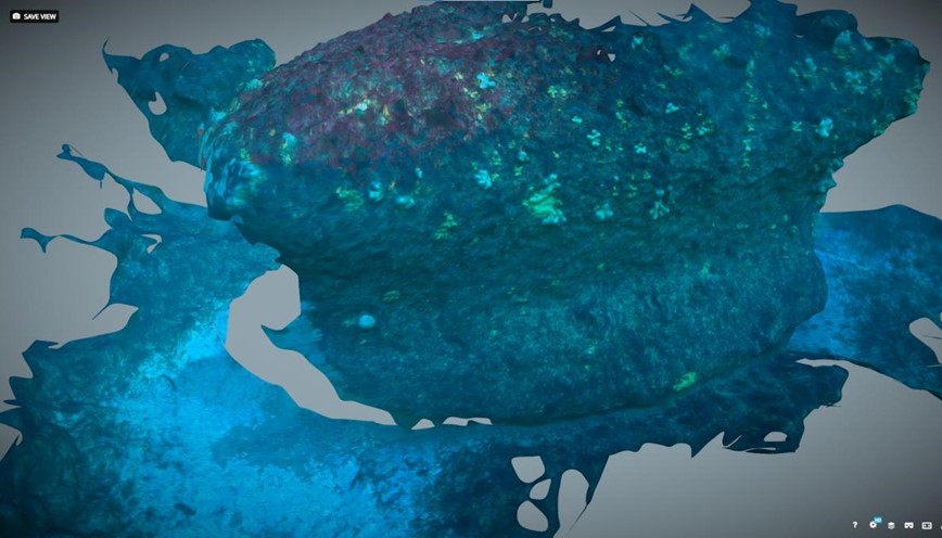
- Subsea photogrammetry demonstrating understanding of the geomorphology of the bedrock and provide data on downwearing.
- Videography footage provided information on habitat complexity.

The waters beneath these heritage sites contain clues to the history of the cliffs and the monuments; the data collected will look to fill that knowledge gap and will provide critical data for resource management of these sites. Publications in development as data are processed – scientific articles and conference presentations. Will form the basis for future PhD, MSc and BSc hons dissertations.