Access/Technology provider: UNI-BREMEN, MARUM-TEC
End User: CMIMA of UTM-CSIC, Spain [Academia]
Dates: 01-01-2020 to 01-12-2020
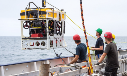
Goals: Visit and recover seafloor observatories (with a ROV) previously “blindly” placed (2016 and 2018) at the plate boundary fault between the African and Eurasian plates, specifically in the portion in the easternmost Atlantic and Alboran Sea. Inspection (HD cameras), study (in-situ measurements) and sample (push cores, discrete seafloor samples) the nearby region in order to link environmental data to the long-term data sets is also intended.
The TNA project was executed in two phases, Phase I was conducted in the Alboran Sea off the Spanish Mediterranean coast and concluded on March 2nd, 2020 in Malaga, Spain. Phase II was conducted under COVID-19 conditions between October 11th and November 5th, 2020 in the Alboran Sea and the Gulf of Cadiz.
The TNA work had the following purposes:
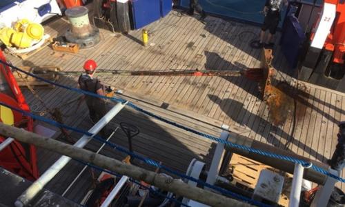
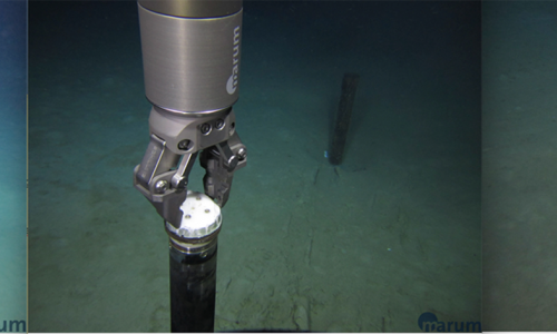
- ROV-recovery of observatories placed along different branches of the fault system, e.g. in the NE Atlantic and Alboran Sea;
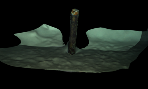
- 3D mapping of the seafloor adjacent to the observatories to interpret how close they may have been placed to active seeps and other evidence for fluid flow;
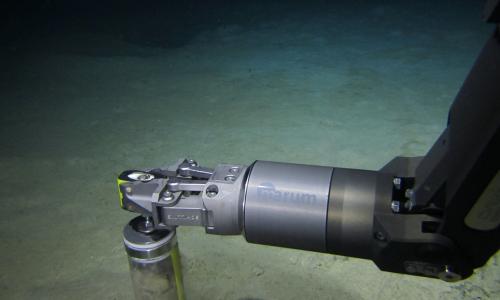
- Use of samplers and push cores on ROV to collect fluid samples for onshore analysis and ground-truthing of observatory data.
Cruise reports have been submitted and uploaded for open access. Publications are in preparation.
- Bachmayer et al., 2020, RV Alkor 534 (AL534) Cruise Summary report https://csr.seadatanet.org/report/20200019;
- Menapace et al., 2021, RV Meteor 167 (M167) Cruise Summary report https://csr.seadatanet.org/report/20200102.

